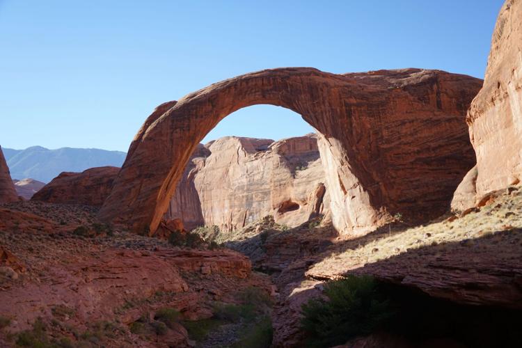
Deep in a breathtaking canyon about 50 miles from the nearest town sits a towering red rock bridge.
Soaring 290 feet, Rainbow Bridge has been sacred for generations of Native Americans.
Designated a national monument in 1910, the bridge is so remote that it's internationally recognized for its dark night-sky viewing. In 1995, the peak visitation year, more than 346,000 people visited the site, according to the National Park Service.
Today, almost no one can get there.

Rainbow Bridge is North America's largest natural rock bridge, and the biggest sandstone bridge in the world.
Drastically low water levels in Lake Powell effectively halted most public access to Rainbow Bridge National Monument this year. Park service officials removed the floating docks that once permitted easy boat access. What was once a short walk from the water's edge is now a 2-mile uphill hike that starts with a jump off a private boat into waist-deep mucky water and a wade through quicksand.
People are also reading…
The only other option is a 14-mile hike across Navajo Nation land, which requires tribal permission.
Last year, only 11,404 people visited the bridge, most of them before officials removed the dock.
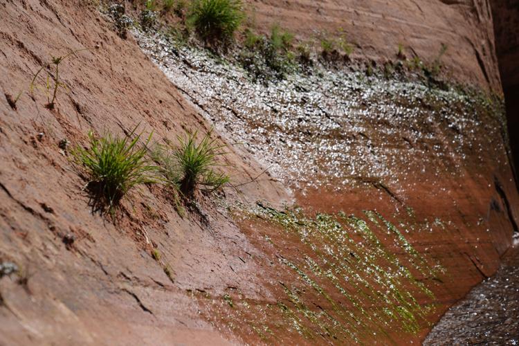
As water levels in Lake Powell fell to about 22% full as of Oct. 16, parts of Glen Canyon reemerged. Plants and grasses grow in cracks that were once more than 100 feet underwater, and lizards scamper across the still-drying red sandstone. Another natural bridge completely submerged by the lake, Gregory Bridge, is now visible, as is the rock amphitheater known as Cathedral in the Desert.
The low water levels affect visitors' ability to use the area, from rock hazards in the lake to the loss of giant bays for fishing and houseboat adventures. Additionally, the shallower water makes it harder to launch boats ��� even though most of the ramps were repeatedly extended ��� and forces people to take longer, slower routes to reach beaches and fishing spots.

Plant grow in a crevice of rocks once submerged more than 100 feet below the surface of Lake Powell.
'Wonderful features'
The changes injected fresh urgency into long-running debates about the future of the nation's second-largest reservoir, which when full stretches 186 miles from the Glen Canyon Dam in Page north to Hite, Utah. Lake Powell stores drinking and irrigation water for tens of millions of Americans, and the dam generates carbon-free hydroelectricity.
Completed in 1963, the dam forms the lake named for the famed one-armed explorer John Wesley Powell. Leading a small party of men in boats, Powell in 1869 completed the first known descent of the Colorado River.
"On the walls, and back many miles into the country, numbers of monument-shaped buttes are observed," Powell wrote in his diary Aug. 3, 1869. "So we have a curious ensemble of wonderful features ��� carved walls, royal arches, glens, alcove gulches, mounds, and monuments. From which of these features shall we select a name? We decide to call it Glen Canyon."
The Glen Canyon National Recreation Area is a powerful tourist attraction. Millions of dollars��� worth of houseboats float on its waters. Last year, 3.7 million tourists visited the area, according to park service statistics.

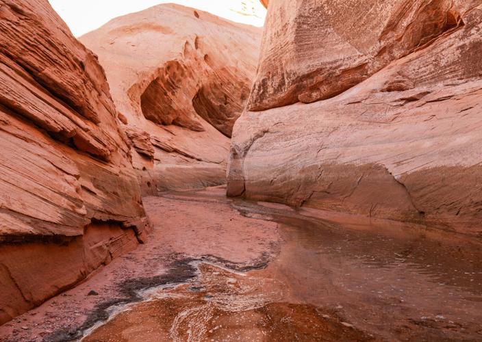
Labyrinth Canyon seen Oct. 7 where Lake Powell ends and the ground of the side canyon begins. This area was once under about 100 feet of water.
���Lost��� park
The reservoir was conceived to store excess spring runoff from the Colorado River during wet years and provide a bank to draw from during dry ones. But long-term shifts mean there's less overall water available to store ��� the wet years are getting drier.
Some environmental advocates want to see the dam bypassed, the lake drained and the Colorado River returned to a free-flowing state. They consider Glen Canyon to be a "lost" national park on par with Canyonlands and Grand Canyon national parks, which bracket the lake. Edward Abbey's 1975 novel "The Monkey Wrench Gang" fictionalizes opposition to the dam's construction.

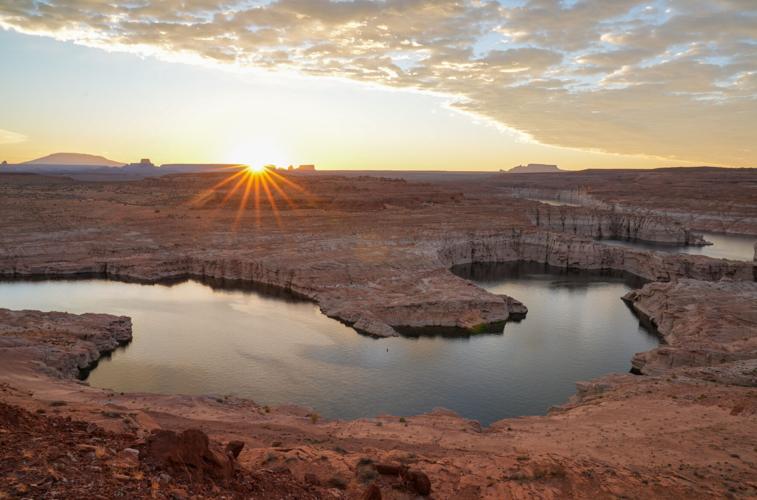
The sun rises above the horizon Oct. 6 near the sacred Navajo Mountain, left, to reveal Lake Powell and the Glen Canyon near Page, Ariz.
The first exploration party to document Rainbow Bridge made its way on foot and horseback to the site in 1909. President William Howard Taft created the national monument the next year.
As word of the bridge spread, more people ventured up and down the Colorado River to see it, according to the park service. Visitors in the past often climbed atop the bridge, which is now prohibited out of respect for Native American beliefs.
Environmentalists fought a bitter battle with water-storage advocates to protect the bridge during the planning for the dam, worried water levels might forever bury it.
Now, low water levels make it almost impossible for visitors to see the bridge.

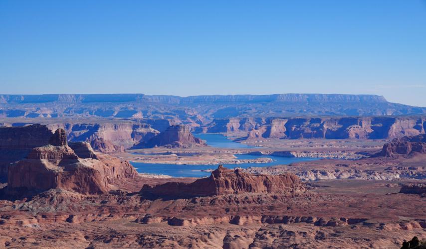
The Padre Bay area of Lake Powell, seen Oct. 7 from atop Tower Butte in the Glen Canyon National Recreation Area
'Crime against nature'
Founded 30 years ago by a small group of environmentalists, the Glen Canyon Institute wants the federal government to combine Colorado River water in Lake Mead ��� which as of Oct. 16 was about 26% full ��� and restore Glen Canyon to its former glory.
Executive Director Eric Balken said the institute takes no pleasure in watching the lake's levels fall. He knows the effects it has on boaters, business owners and downstream farmers.
"What's emerging in Glen Canyon is not just cool geologic features, waterfalls and bridges. What's emerging is functional ecosystems," he said. "They should have some value ��� By many people's opinion, it was a crime against nature that this ever happened in the first place."

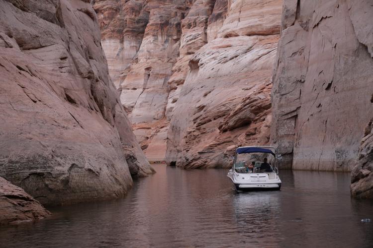
Dwarfed by red rocks, a boat meanders Oct. 6 down the narrow Antelope Canyon on a 22% full Lake Powell. The white ���bathtub ring��� shows the former water level when the lake was full.
Average flows on the Colorado River since 2000 are about 20% lower than they were in the previous century. Climate scientists widely predict the West will continue to get warmer and drier in coming decades.
The states and tribes that use the river for drinking and irrigation water have been unable to reach an agreement on how to reduce water consumption, and federal officials ordered short-term stopgap measures. They also drained upstream reservoirs to stop Lake Powell from falling to a point where it can't generate hydroelectricity.
"Look at climate change, look at the runoff trends ��� this reservoir isn't going to fill again. We will have big water years, but it's never coming back the way it was," Balken said. "It's not environmentalists that have drained this reservoir to 22%. It's climate change and overconsumption. And that trend is very hard to buck. We should be preparing for the future."

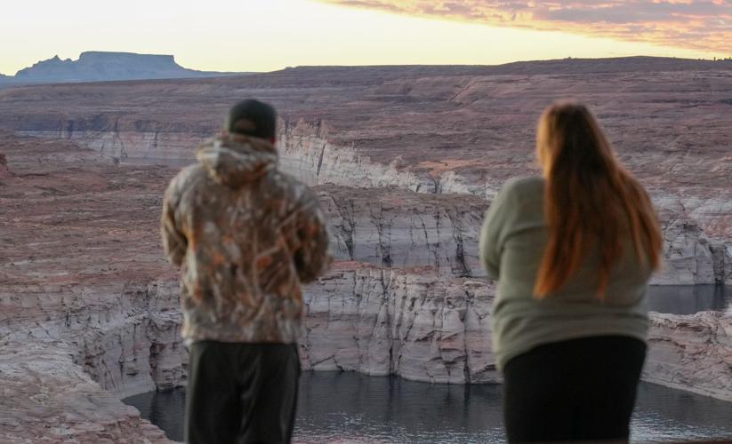
Sean and Caitlin Graham, both 31, take in the sunrise Oct. 6 at Lake Powell near Page, Ariz.
A blessing and curse
It's hard for private boaters to launch into the lake anywhere but the Stateline Auxiliary Ramp near Page, and low levels eliminated a longtime shortcut from there into the main lake.
���It���s pretty bad," user Yulia Simon said on a recent day as she reclined on a boat in the sun. ���We want to use the lake as much as we can. Maybe someday it won���t be here anymore.���
Fishing guide Skip Dixon and Nathan Rees, Arizona state lead for Trout Unlimited, talk about the decline of rainbow trout on the Colorado River.
Another group, the BlueRibbon Coalition, wants to protect Lake Powell by building desalination plants off the California coastline. That would make new water for California's farmers, allowing officials to keep more water in Lake Powell.
Mike Farrow, Page's vice mayor, said the falling water levels are a blessing and a curse for the tourist-dependent town. He said city officials are making the case to tourists that the low water levels mean they can see things in Glen Canyon no one has seen since the late 1960s.
���This lake is alive," he said. "And this place isn���t dead. It���s alive."